For years, coastal cities across the lower 48 have been using high-frequency radar systems to monitor and track ocean currents. Now, the University of Alaska Fairbanks (UAF) College of Fisheries and Sciences are bringing similar technology to the Bering Strait Region.
KNOM’s JoJo Phillips spoke with a researcher from UAF about the potential benefits high-frequency radar could offer to Western Alaska:
“We have a new project. We want to monitor the surface currents in the Bering Strait.”
– Rachel Potter
Rachel Potter is a physical oceanographer with UAF. On October 22nd during Strait Science at UAF Northwest Campus she visited Nome and gave a presentation on ocean currents and the importance of collecting data on them.
There are a variety of existing methods for measuring ocean currents, but each has its own limitations. One example is NOAA research vessels tracking currents while conducting yearly surveys. Potter says these measurements are precise, but…
“You’re only getting the data of where that ship is, at that time. So it’s great to compare to the other data that you’re collecting while you’re on the cruise but it’s not great to tell you after you left there what happened at that spot three days before or after.”
Another strategy is to use moorings. These, according to Potter, produce accurate data but are not time effective and can be expensive to place and retrieve. Meanwhile, data from a radar system can be collected both remotely and more frequently.
“We’re saving a lot of money by not going out on ships. We’re getting a lot more coverage than we normally would, both temporally and spatially.”
– Rachel Potter
Currently, UAF has three operational sites in Alaska: Wainwright, Utqiaġvik, and Cape Simpson (East of Utqiaġvik). Potter has spent the last several months testing two more locations: Wales and Shishmaref. She says she chose those two communities because of their geographic proximity to the coast and because both communities have electricity and Wi-Fi. The towers are not able to transmit over land.
Robert Tokeinna Jr. sits on the Wales Native Corporation Board. He sees the community’s partnership with UAF as mutually beneficial.
“Hopefully we’ll start working with the scientific community and working with our community to come up with the best knowledge base—not only for our community residents but also anybody that hunts and subsists around Wales and Shishmaref.”
Potter agrees with Tokeinna Jr., and points to the success local subsistence hunters in Wainwright have had utilizing the radar data.
“Even for subsistence harvests, a lot of the data that we get near shore to Wainwright and Barrow, exactly where we see these eddies and upwelling, is where they go whaling every year and have success.”
Besides benefits to subsistence users, Potter has a long list of applications for the radar systems. The National Weather Service could ingest the data to improve marine and sea-ice forecasting, and NOAA could use the data to track the spread of Harmful Algal Blooms and potentially even toxic spills. The same radar system was used in 2010 to track the Deepwater Horizon oil spill in the Gulf of Mexico.
Potter also believes the high-frequency radar system has the potential to save lives. Because the data can be both highly precise and immediate, the US Coast Guard (USCG) could use ocean currents to track the path of a ship or a body in a search and rescue mission.
According to Senior Chief Petty Officer Erik Patterson, the command center supervisor of Coast Guard Sector Anchorage, when conducting search and rescue operations, “an increase of accuracy… would markedly improve the opportunities for case success.”
Potter and her team are still ironing out some wrinkles in the system, but she is hoping to install the Bering Strait region’s third high-frequency radar tower within the next year, potentially somewhere along the coast of Shishmaref or on Fairway Rock, South of Diomede.
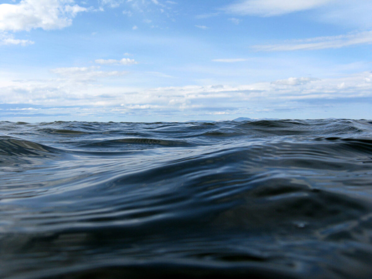
Photo at top: Waves at Kotzebue Sound. Photo from Travis/ Flickr CC 2.0 license.